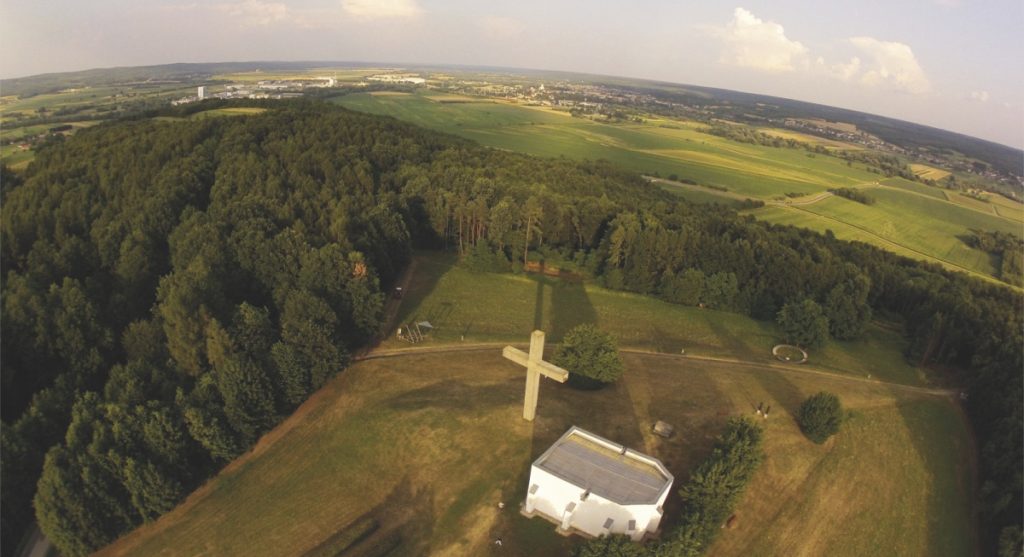
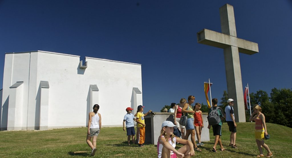
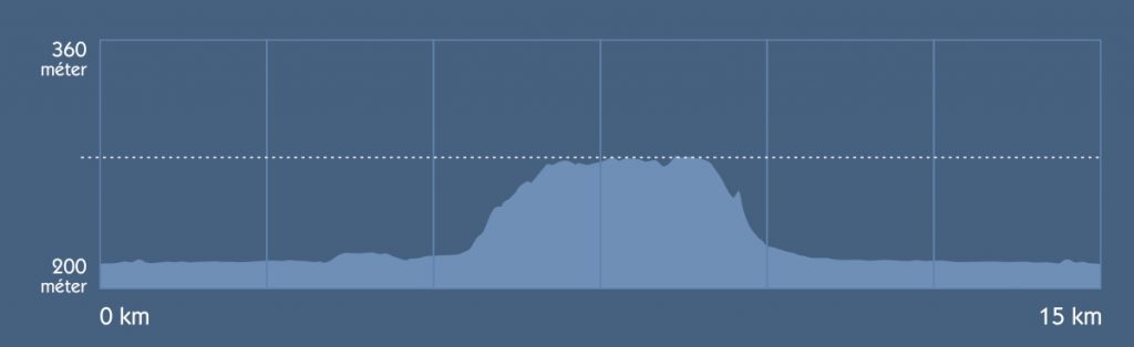
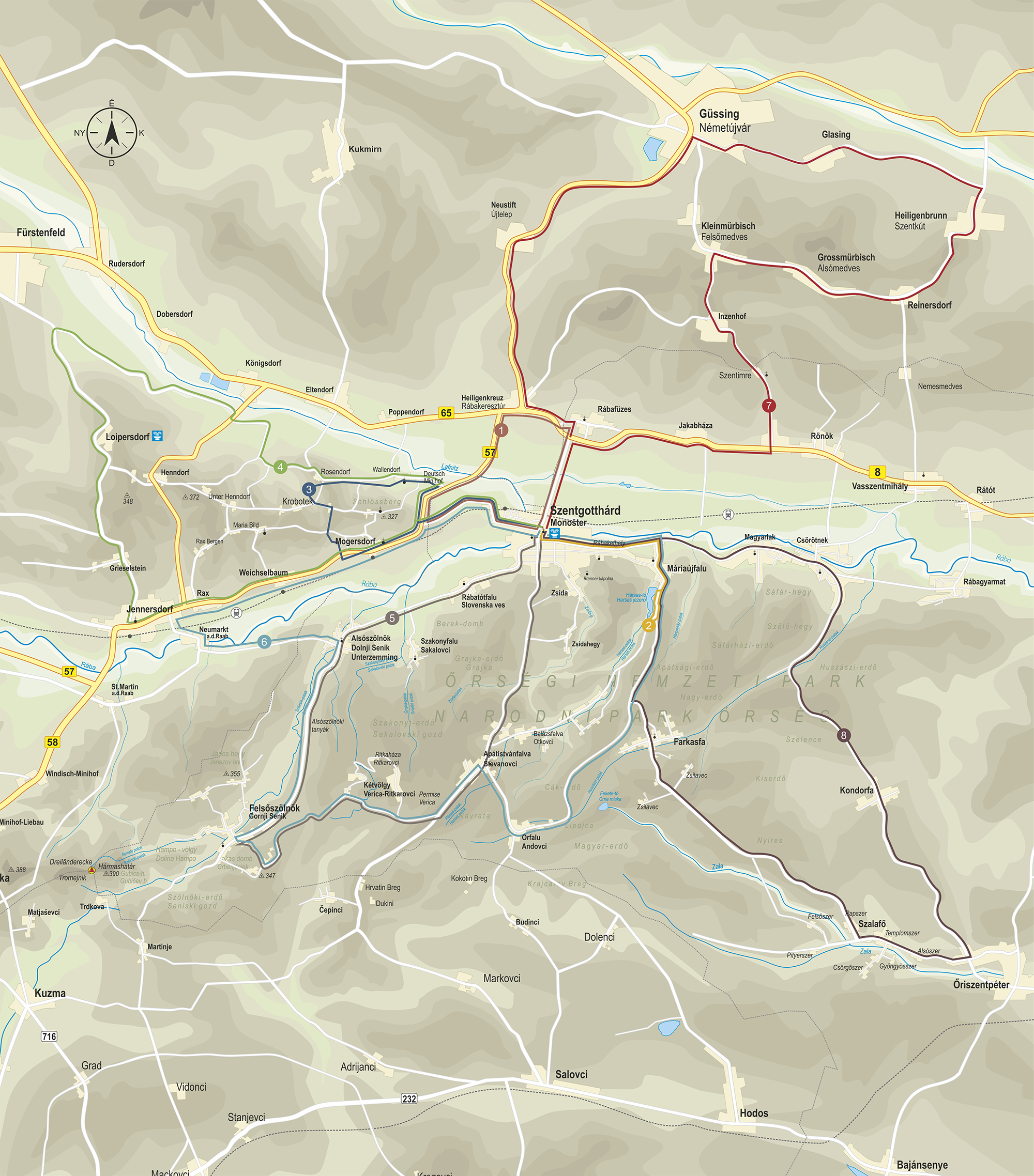
Szentgotthárd – Deutsch Minihof – Schlössberg – Mogersdorf – Szentgotthárd
Length: 15 kilometers
Maximal Altitude: 328 meters
Minimal Altitude: 217 meters
6% inclines: 4
10% inclines: 1
Tract: 1-1,5 hours


